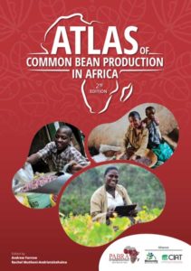
The Bean Atlas
Bean Atlas Version 2.0
The Atlas of Common Bean (Phaseolus vulgaris L.) Production in Africa, 2nd Edition, is a revision of the 1998 version (Wortmann et al., 1998) with updated information and addressing additional topics. The data and indicators for the 1998 version were structured in seven main themes: environments of bean production areas, socio-economic characterisation, bean cropping systems, distribution of bean seed types, bean diseases, bean pests, and abiotic constraints. The data collection was a mixture of the compilation of secondary data and expert knowledge, with further research carried out in a decentralised manner by teams in each country, with support from the Pan-Africa Bean Research Alliance (PABRA).
The Bean Atlas 1.0
The Bean atlas is a comprehensive map of the bean growing areas in Africa. The first version was first published in 1998 and in paper format.
For the last four years, PABRA has been developing the second edition, which shows dramatic changes in bean production areas across Africa, where some have expanded and others have shifted. The new atlas will be digital and available online soon.
The new edition will contain information from bean producing areas in Eastern, Southern and Western Africa. It overlays bean producing areas with information on: bean varieties grown in those regions; ongoing seed production and dissemination work; local, national and international bean markets; market routes; information on end users, farmers and bean consumption; bean constraints, both Biotic and abiotic; and more.


